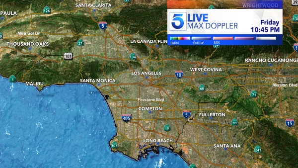
A Pacific storm arrives over Southern California Friday evening and is expected to bring “spotty” showers this weekend.
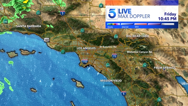
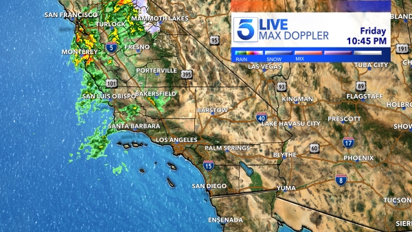
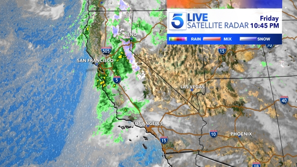
The system will drop a lot of rain on Northern California but will not have a direct hit here in the Southland.
“We’re just getting the tail end of the cold front … it will be really spotty in nature but will bring us some light to moderate showers,” KTLA Meteorologist Henry DiCarlo said.

KTLA’s Storm Tracker shows on-and-off showers coming in waves on Saturday and Sunday.
“It’s more of a frustrating forecast,” Henry said. “You’re just going to have to be a little fluid with your plans.”
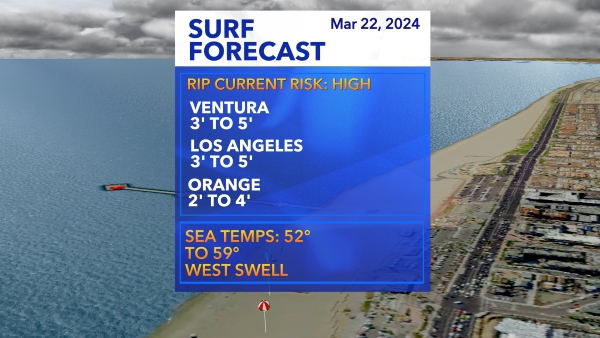
The National Weather Service predicted around a quarter of an inch of rain for both days combined south of Point Conception.
Thunderstorms are always a wildcard, Henry said. A pop-up thunderstorm could drive rain totals for a certain area to closer to an inch.
Much cooler weekend temperatures are also expected to arrive with this storm.
The forecast afternoon highs drop by 15 degrees in the Inland Empire between Friday (74 degrees) and Saturday (59 degrees).
Snow levels will initially stay near 6,000 feet but drop closer to 4,000 feet by Sunday, causing a snow concern for the Grapevine area.
The stormy weather should clear out by Monday, according to the Weather Service.